| Lantau Peak | |
| Distance: 5.0 Km | |
| Duration: 4.0 hours | |
| Diff.: | |
| Scn.: | |
Due to Google changing the terms of Google Map, the daily usage rate will be limited. Please refer to the static map instead if the above map could not be displayed or used normally. I apologize for the inconvenience.
 Static Map
KML file
Pak Kung Au
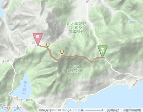
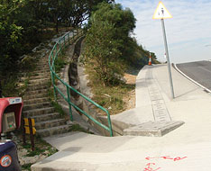
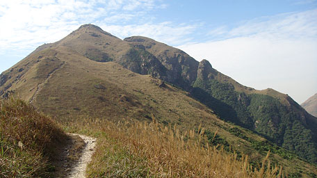
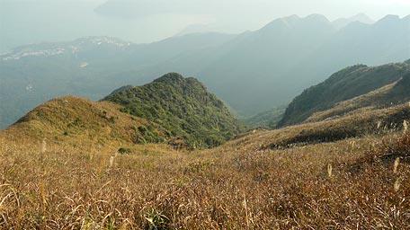
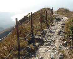
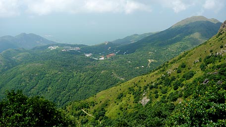
The trail begins by following Lantau Trail Section 3 beside the bus stop of Pak Kung Au at the north way of Tung Chung Road. It winds along the eastern ridge uphill. After the steep ascent along the flight of stone steps cutting through the sylvan terrain, Tung Chung and the airport could be peered. Along the undulating trail towards the hilltop in the distance, the view becomes open and broader after passing the smooth section. At the time, the majestic Sunset Peak is towering behind you as well as the picturesque scenery over the southern coasts of Lautau Island is within the sight. Overlooking to the right, another lofty hill of Nei Lak Shan is lying horizontally with the mighty aura.
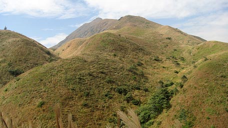
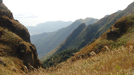
Continuing on along the trail from the pavilion, a gully known as South Heaven Gate (Nam Tin Mun) could be seen on the left where is also an entrance of the advance hiking trail of South Slope of Lantau Peak. Overlooking through South Heaven Gate, you could peep far at a short spur protrudes upward like a "drainage outlet" of a teapot. The hills behind the ridge of the teapot are named Kau Nga Ling, the southern embranchment of Lantau Peak, which is the most precipitous jagged cluster of rocks and peaks in Hong Kong and the shape is like teeth of a dog as the meaning in their chinese name. In additions, there is also a small rocky tower standing the ridge on the right far from the trail known as "Lo Hon Tower" where is a clamber spot. Heading further over the steep hillsides, it comes to the crest of Lantau Peak.
Related route : The south slope of Lantau Peak | Kau Nga Ling | Lo Hon Tower
Lantau Peak
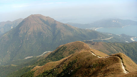
Looking around at the hilltop, you could see the aeroplanes taking off and landing below your horison. Moreover, it offers a panoramic views over Tung Chung, northwards far to Tuen Mun and Castal Peak, southwards to the coastline of Cheung Sha, and Shek Pik Reservior like a big mirror on the ground reflectling sunlight up into your eyes. Sometimes sea of clouds could be seen below you. In additions, it also attracts some peoples for enjoying the sunrise there. Lantau Peak has two summits which secondary peak is adjacent from and slightly lower than the main peak. Moreover, there is a recession between the two peaks known as Lantau Gate. If looking the peaks from a distant place, the top seems to be broken a bit, so that Lantau Peak was named as Broken Head Hill in Chinese. The english name “Lantau” also came from the pronouncing in chinese.
Wisdom Path and Ngong Ping
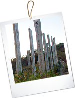
Continue to follow Lantau Trail, it sharply descends the long flight of stone steps known as 'Sky Ladder' roughty along the west slope of Lantau Peak. Initially there are some railings in part of the cliff edges. Along the way, a grand view could be seen over the precipitous terrain of Kau Nga Ling on your left. Afterward it is down to Tsam Chai Au. Still follow the trail, it descends steadily through a long and steep flight of steps. In the midway downhill, the upland of Ngong Ping comes into full view and the huge buddhist statue towering on the upland could be also seen in the distance. After the downhill, it comes to the wooden archway beside the entrance of Wisdom Path. Finally follow the concert path on the left according to the signpost to Ngong Ping, it leads to Po Lin Monastery, Ngong Ping Bus Terminal and Ngong Ping 360.![]()
Summary
During the hike, it offered peculiar views over the rugged contour of soaring Lantau Peak, a jagged cluster of peaks of Kau Nga Ling like teeth of a dog, the southern meandering coastline and the aquamarine of Shek Pik Reservior. All created the masterpieces of nature as if they constituted a grand symphony with graceful melody for Lantau Island.
Update : 11.09.2018
Suggestions:
Other Informations:

