| Cheung Sheung | |
| Distance: 10.5 Km | |
| Duration: 4.0 hours | |
| Diff.: | |
| Scn.: | |
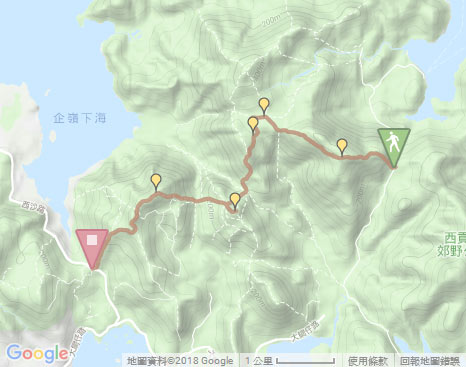
Start: Bus 94 from Sai Kung Town, get off at Pak Tam Au
End: Bus 99 to Sai Kung or Wu Kai Sha, 299X to Sha Tin Railway Station
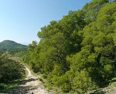
It is physically demanding as there are slightly steep climbs up and down to a certain extent. A part of section is loose gravel.
1. At Cheung Sheung, you could take Cheung Sheung Country Trail to Hoi Ha.
2. Beyond Wa Mei Shan, take the left fork at the junction to Tsak Yue Wu at Pak Tam Road.
Due to Google changing the terms of Google Map, the daily usage rate will be limited. Please refer to the static map instead if the above map could not be displayed or used normally. I apologize for the inconvenience.
 Static Map
KML file
Ngau Yee Shek Shan
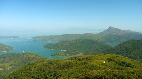
The trail starts from the bus stop of Pak Tam Au by going back a few steps and then following MacLeHose Trail Section 3 at the roadside. Along the long series of uphill steps with less shade trees, it is slightly demanding. Up ahead, you could look back the stunning vista over the shallow cove of To Kwa Peng and the farther Sharp Peak, with birds flying around above the offshore forest.
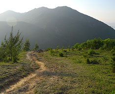
Cheung Sheung
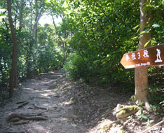
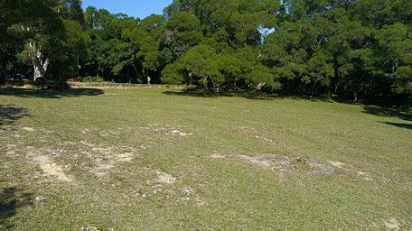
Further up, the trail becomes gentle and winds along the hillside of Ngam Tau Shan. Along the way, the undulated hill ranges of Ma On Shan and Kai Kung Shan could be overlooked in the distance. It sometimes runs alongside lawns and cuts through thick verdant woods. Heading to the path junction at the sylvan terrain, it follows the right path according to the signpost along MacLeHose Trail to Cheung Sheung through a woods. There is a small store for snacks and beverages in Cheung Sheung. Moreover, there is also a nice camping site in the peaceful country setting with the thick woods, wide grassland and the clear brook waters. Afterward, take the left path at the village notice board. Not far ahead, it follows the left path to Shui Long Wo at the next fork (taking the right path could go to Yung Shue O).
Exit: At the junction in Cheung Sheung, you could go to Hoi Ha Road or down to Yung Shue O via Cheung Sheung Country Trail.
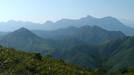
The chain after chain of mountains
Lui Ta Shek
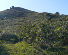
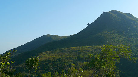
Along the trail, it winds along the hillside of Wah Mei Shan but not too undulated, and opens up. On the way, the chain after chain of mountains are within the sight. At a knoll before downhill, you could overlook the hill of Ma On Shan and down to Three Fathoms Cove. Head the trail, it sharply turns down with loose gravel. At the opposite side, a peculiar view of the hill of Lui Ta Shek could be seen on which hillside seems to have two big rocks just rolling down. Descending to the crossing, go ahead along the MacLehose Trail (Left to Pak Tam Road via Tsak Yue Wu and right to Yung Shue O). Head to the next junction, take the left path to climb the hilltop of Lui Ta Shek.
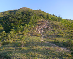
The uphill path is not too steep but covered with some loose gravel. After a while, it leads to the hilltop. Looking around from there, it offers a panoramic view over the mountains in Sai Kung. You could overlook southward to Pak Tam Chung and the hill of Tai Tun, northward to Shek Uk Shan and Ngam Tau Shan, westward to the hills of Kai Kung Shan and Ma On Shan. Afterward retrace the way down to join the MacLeHose Trail.
Exit: If not to climb the hilltop of Lui Ta Shek, you could continue on along the MacLeHose Trail ahead.
Related trail : Tai Tun
Kai Kung Shan
Follow the MacLeHose Trail down to the path junction in the valley, then go ahead. It begins the slightly steep path uphill. After the steadily climb over the hillsides, it comes to the hilltop of Kai Kung Shan. In the sunset glow, it gives a charming scenery over the hill of Ma On Shan and Three Fathoms Cove. Moreover, the saddle of Ma On Shan is sharply contoured in the golden background. Afterward, head the trail downhill. It winds down along the ridge. Cutting through the woods, it leads down to Shui Long Wo at Sai Sha Road.![]()
Exit: After going down from Lui Ta Shek, if not climb the hill of Kai Kung Shan, you could take the left path at the junction in the valley, then join Yan Yee Road to Tai Mong Tsai Road via Shek Hang.
Summary
Along the trail through the hills in Sai Kung West Country Park, the sublime scenery over To Kwa Peng, Sharp Peak, Ma On Shan and Three Fathoms Cove could be seen. It is impressive for the view on the undulated ridge upon ridge of hills. However, it is slightly demanding for the long hike and the rugged hillsides with loose gravel in part.
Last Update : 12.07.2015
Suggestions:
Other Informations:


