| Golden Wall Ridge | |
| Distance: 12.0 Km | |
| Duration: 7.0 hours | |
| Diff.: | |
| Scn.: | |
Due to Google changing the terms of Google Map, the daily usage rate will be limited. Please refer to the static map instead if the above map could not be displayed or used normally. I apologize for the inconvenience.
 Static Map
KML file
Ma On Shan Tsuen Road
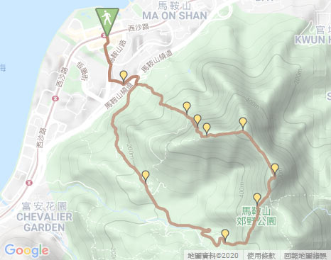
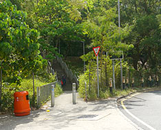
The trail starts by following the pedestian bridge to Ma On Shan Road after passing through Sunshine City Plaza from Exit B of Ma On Shan Railway Station. Along Ma On Shan to the right, it then follows On Shan Lane on the left. Head it a bit, then ascend the flight of concrete steps in the front to join Ma On Shan Tsuen Road. Along the road to the left not far, follow a shortcut path on the left at the bottom of the bridge, it leads up just to the entry of Shun Yee San Tsuen which is a small village. Trace the left concrete road, it slowly leads up to the junction. At that time, pay attention to the front, there is a muddy uphill path. (Entering into Shun Yee San Tsuen is NOT required).
Wild Goose Valley Path
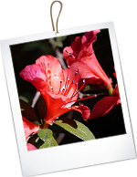
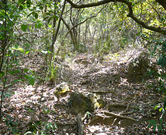
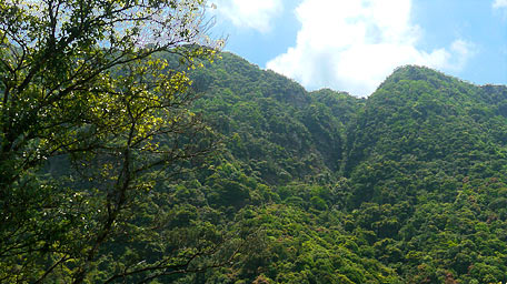
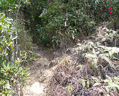
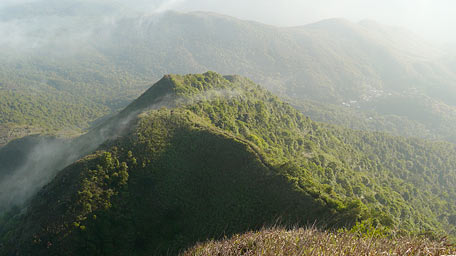
Head the the muddy path, it is obvious through the woods. Parts of the section are quite steep, it would requires you clamblering. Up to the mid-level in the bird sounds, you could look up over Ape Valley which seems to be a huge ape showing its arms and gazing down to the valley. Further looking to the right, Kam Mo Kau Valley could also be seen which shape is like a deep 'V' as if it were chopped into two hills. The bloom of azalea flowers have just over, there are many bald twigs along the path. Although some of the flowers have already wilted, few of the red flowers are still blooming as their final show for the farewell of the spring. Afterward, still up the path, it then ascends to Wild Goose Valley Path.
A look back
Golden Wall Ridge
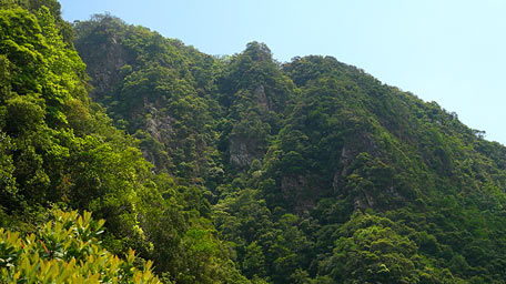
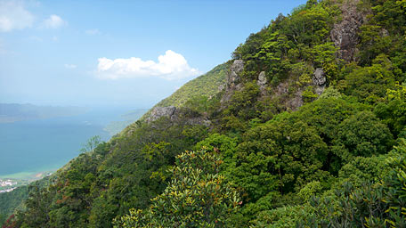
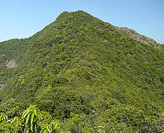
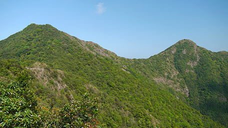
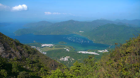
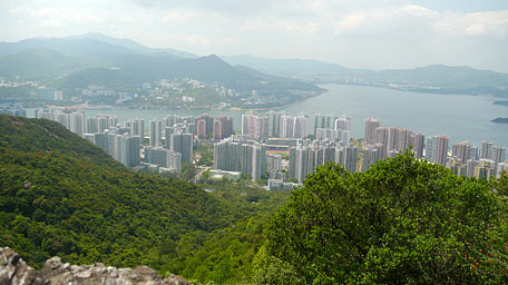
From the junction, take a few steps to the left, then ascends the uphill path on the right with some ribbon marks along Golden Wall Ridge. Head the path, it turns very steep later that requires you clambering. Some of the slopes have ropes but be not too dependant on them. Along the way overlooking to the right, the 'huge ape' seems to be living and looking to you face to face. Gazing to the left, the undulated ridgeline of the north ridge of Tiu Shau Ngam could be seen clearly. Up the trail to the bottom of the rocky wall, climb on the left of the wall carefully. Although it is very steep and straight, there are sufficient holds on the rocks and by the tree roots for the climbs. Over the wall, the trail gradually becomes gentle. Ascending to an open rock platform and overlooking back, the full view over Tolo Harbour and Plover Cove Reservoir feasts your eyes. Moreover, the undulated rolling hills of Ping Fung Shan, Wong Leng and Pat Sin Leng lie at the north horizontally. At that time looking to the adjacent ridge on the right, its rock near the top forms a large right angle, as if it were just cut horizontally and vertically which is difficult to know it was made by god or by humans, named “Broken Goose Platform”. Futher up, it joins the main path of Tiu Shau Ngam.
Note:The uphill and downhill path are very steep, it would require clambering. You are recommended to put on gloves.
-
Exit:
- At the junction of Wild Goose Path, you could follow it to the right to Ma On Shan Barbecue Site if not to climb Golden Wall Ridge.
- After climbing to the main path of Tiu Shau Ngam, you could descend it to the right to Ma On Shan Barbecue Site if not to climb The Hunch Back and the main peak of Ma On Shan.
The Hunch Backs and Ma On Shan
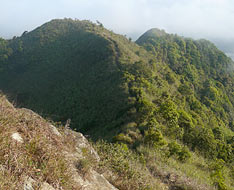
Follow the main path to the left, not far ahead, it ascends to the top of Tiu Shau Ngam. Looking up to the right-front, The Hunch Back (also named as Horse Tail) and the main peak (Horse Head) of Ma On Shan form a saddle like a suspension bridge in the sky. Overlooking to the right further, Quarry Ridge appearing in brown-red links left to the saddle and Tiu Shau Nam to form an annular mountain range. Afterward, continue to head the trail toward The Hunch Back, it is gentle then gradually goes up. Cutting through the woods, it comes to the top of The Hunch Back. There is a downhill path on the left leading down to Lei On Estate along the north ridge of The Hunch Back. At that time, follow the right path along the saddle toward the main peak (Horse Head). It is gently down along the narrow ridge initially, then slowly ascends after entering into the woods. Looking forward to Horse Head, it seems to be smooth and tame with the lush woods around the hillsides, on the other side however the cliffy Elephant Gate and Elephant Forehead Ridge overthere have very diffient scene.
Further ahead, it comes to the hilltop of Horse Head. Overlooking around, it offers a panoramic view east to Three Fathoms Cove and Sai Kung and west to Sha Tin and Tai Mo Shan. Suddenly the clouds and the mists come, half of the blue sky is dyed into white. The white streams could cover everything beneath the hills but not the lofty mountains.
Quarry Ridge
Continue to follow the trail a short distance, it descends on the right then sharply leads down on the left. Along the way, as the mists are gradually dispersing, Horse Chin Valley could be seen on the left which seems to be a mysterious valley. At that moment looking back to Horse Head, it turns a cliffy escarpment which craggy rocks rears from the bottom of the valley straight up to the sky. It seems to be overwhelm by the mighty aura then fall down into the deep valley. Head the trail along the ridge down to the junction by the third signpost of warning notice, still go ahead to follow Quarry Ridge downhill. If turn left, it could lead down to join MacLehose Trail. Afterward, head the trail, it is obvious but part of the sections are quite steep that contours along the hillsides one level by one level downhill. Pass through the mined 'half' hill, it descends to the junction. Folllow the right path, not far ahead, it cuts through the woods, descends the steep slopes then comes to Martial Art Stage. It is said there was a famous mountain scene for the ancient soap operas of chinese martial art as a stage in the past. The green hills and the valleys made by humans therefore became a natural stage of TV dramas, it seems to cross over space and time.
Continue on along the trail, it then turns downward through the woods. Not far ahead, it leads to Ma On Shan Country Trail. Follow its concrete road to the right. Passing through the left junction of Ma On Shan Village, still go ahead and join Ma On Shan Tsuen Road. After passing through Ma On Shan Barbecue Site, it descends to the entry of Shun Yee San Tsuen. Finally retrace the steps to return Ma On Shan Railway Station.![]()
Branch: If not follow Quarry Ridge downhill, you could follow the left path to join MacLehose Trail at the junction after the descent from the top of the main peak of Ma On Shan. Then follow MacLehose Trail left to Shui Long Wo, or right to Sai Kung via Ma On Shan Country Trail.
Related Trail : Ma On Shan
Summary
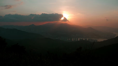
The terrain of Tiu Shau Ngam is quite cliffy but the ridges, the valleys and even the rocks over there all form the natural peculiar scenes, such as Ape Valley and Kam Mo Kau Valley. During the uphill, it was in sunshine with the light wind. At the hilltop, the winds rose and the clouds came then everywhere were almost in the mist. In the downhill, the sunset clearly appeared from the golden to the dark blue as soon as the mists and the clouds dispersed. Variation is always the eternal rule of the nature.
Last Update : 11.03.2020
Suggestions:
Other Informations:

