| Tung Lung Chau | |
| Distance: 8.5 Km | |
| Duration: 4.5 hours | |
| Diff.: | |
| Scn.: | |
Due to Google changing the terms of Google Map, the daily usage rate will be limited. Please refer to the static map instead if the above map could not be displayed or used normally. I apologize for the inconvenience.
 Static Map
KML file
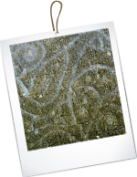
Ancient Rock Carving
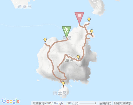
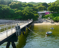
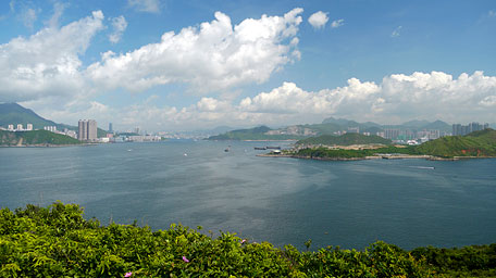
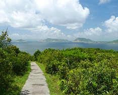
The trail starts by following the concrete path on the right from the pier of Nam Tong Wan. Head it, then turn right at the junction by the cabin. Along the trail up, it gradually opens up. At the junction, take the right fork to the round lookout spot. Toward the west, it gives a distance view over the channel near Lei Yue Mun and Chai Wan. Afterward, follow the flight of steps down to the rock carving at the coast.
Luk Keng Wan
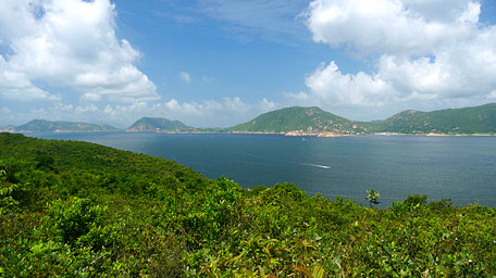
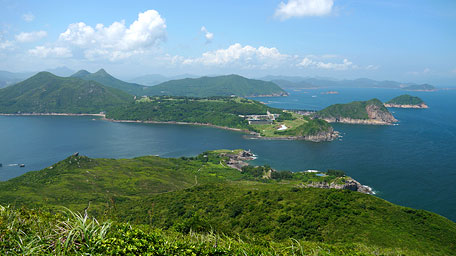
Going back to the lookout spot, retrace the way to the junction then go ahead. The trail gently winds along the hillside. On the way looking far to the right, the opposite Shek O and the hill range of Dragon Back of Hong Kong Island could be seen. Further ahead, when seeing Tathong Point (Nam Tong Mei) like a tail of the island in the front, it turns down slowly. Head to the junction, take the right fork. Down to the valley at the linkage to the peninsula, the cove of Luk Keng Wan toward Shek O and Hok Tsui with the curved coastline and tranquil water, and on the other side, Kai Yue Tam toward Pacific Ocean along the rugged craggy shore and with surf a little, are within the sight. Afterward, retrace the way up to the junction, then head the path to the right uphill.
Nam Tong Shan
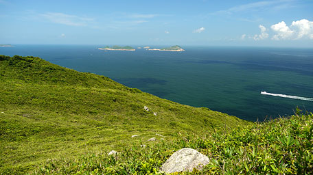
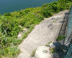
Along the trail, it slowly ascends along the ridge. Further up, it offers the scenic view over Po Toi Islands and Beaufort Island. Up ahead, the navaids station could be gradually seen at the hilltop in the distance. After the path turns eastward, you could overlook the hills of High Junk Peak, Tin Ha Shan and the channel of Fat Tong Mun on the left. Heading to the top, take the side path on the left in front of the entrance of the navaids station. Follow the path, it skirts the wire netting enclosing the station. Passing through the gutter on the ground, go ahead along the netting. Head to a broader foothold, there is a rugged muddy downhill path on the left.
Before the downhill, it gives a splendid panoramic view over the northern of the island, Fat Tong Mun and the southern of peninsula of Clear Water Bay. Gazing to the Pacific Ocean, the unlimited horizon on sea level could be seen. In sun shine, the cloud shadows on the sea relect the different blues, which appears azure, sapphire and aquamarine etc., fashion patterns like a map.
Exit: At the hilltop, if not take the rugged path, you could retrace the way downhill.
Tung Lung Fort
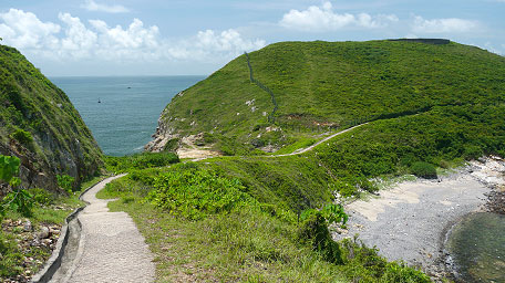
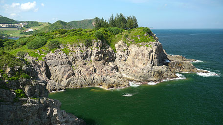
Follow the rugged path downhill, it contours the hillside roughly toward the north, part of which is narrow and cuts through thick woods. You could clamber down in the initial steep section. Descend to the valley, then take the left fork at the junction. Passing through the shrubland, it leads down again. Further descent, it becomes gentle and opens up. Overlooking to the left, the rock of Nga Ying Shek is at the top of a hillock. To the right near the coast, Tung Lung Fort on the headland could be seen. Down to a rocky slope, there is a side path on the right that leads to the cape to see the rocky shore and the cliffy escarpment nearby.
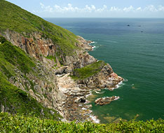
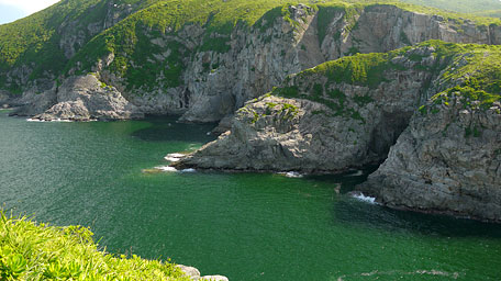
Contining on along the trail down, through the woods it heads to the open grassland of Tung Lung Fort Camp Site. Along the right path, it comes to the remnant of the fort. Afterward, trace the left path in front of the entrance of the remnant, it leads to the top of the headland. Looking around, it offers a sublime scenery on the craggy coast, the rocky cliffs, the spur jutting out into the sea and also the greenish waters.
The Lighthouse at Fat Tong Mun
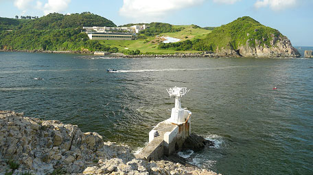
Return to the grassland of the camp site, then take the concrete path ahead. Heading to the Holiday Store on the right, enter and pass through it, that there is a way accessable to the north coast. Through a lawn, it leads to the seaside. By climbing down the rocks along the shore, it arrives at the lighthouse by Fat Tong Mun. At the sunset in the breeze, the gentle surf is skirting along the rocky shore. Moreover, some of boats and yachts return through the channel. Looking far to the sea east, Ninepin Islands could be seen. Gazing back, you could also overlook the hill of Nam Tong Shan that have climbed up. Afterward, retrace the way to the store and then follow the concrete path forward. Heading for a few steps, take the right path at the junction leading to the coast. Through the beach, it comes to the new pier (Fat Tong Mun Public Pier).![]()
Note: At that time, ONLY the ferry route to and from Sai Wan Ho additionally docks the new pier beside the beach. The ticket holders for roundtrip from Lei Yue Mun should go on board at the old pier by heading the concrete path from the Holiday Store to there.
The Lighthouse at Fat Tong Mun
Summary
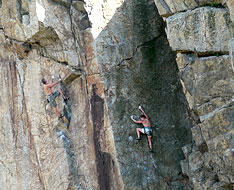
Although there is no towering mountain, however by surrounding the island, you could see the rocky shores and the cliffy escarpments near the coast everywhere, and even the splendid panoramic natural view at the hilltop. In additions, it is small but not far from the city, and offers the ideal settings for various kinds of outdoor activities, such as hiking, rock climbing, shore skirting, camping and also swimming, we therefore should treasure it much.
Last Update : 11.08.2015
Suggestions:
Other Informations:

