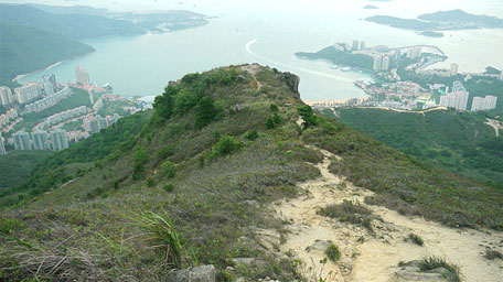
| Lai Pik Shan | |
| Distance: 10.5 Km | |
| Duration: 5.5 hours | |
| Diff.: | |
| Scn.: | |
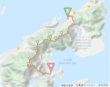
Start: Sunny Bay MTR Station
End: Ferry to Central, Discovery Bay Bus DB01R to Tung Chung or DB03R to Sunny Bay Station
The downhill path of Lo Fu Tau is partly very steep and rugged that would require you clambering down.
If not climb Lo Fu Tau, you follow the left path from the junction at Yi Pak Au leading directly to Discovery Bay.
Due to Google changing the terms of Google Map, the daily usage rate will be limited. Please refer to the static map instead if the above map could not be displayed or used normally. I apologize for the inconvenience.
 Static Map
KML file
Sunny Bay
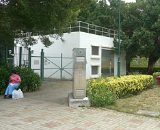
From Sunny Bay Station, turn right to go along the bus terminal until you meet Sunny Bay Pumping Staion on the right, then follow the side path beside it. Head the path, it leads to the subway. After passing through the subway and ascending the short flight of steps, turn right to join Cheung Tung Road. Follow Cheung Tung Road to the left leading to the junction of Sunny Bay Road.
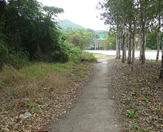
Cross Sunny Bay Road then follow it to the right along the pavement. Head to the S-Turn, descend the flight of steps on the right, pass through under the bridge from the right junction and then turn right. Go head a bit, follow the flight of steps upward, it leads to Telephone Exchange Room. Pass through the gate on the right, it then joins the uphill path of Tai Shan.
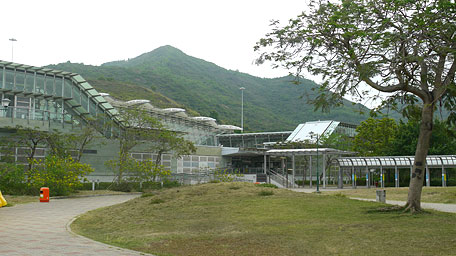
Sunny Bay Station beneath Tai Shan
Tai Shan
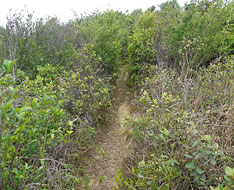
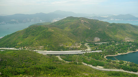
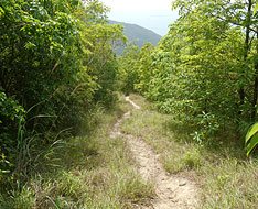
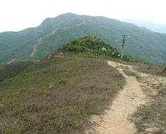
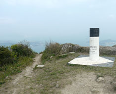
Follow the muddy path uphill, it is obvious. Not far ahead, turn right at the junction. Up to the midway range pole, Tai Shan is towering in the front. Towards to the north, Sunny Bay Station and the nearby coast could be seen. Further ahead, the path become steep gradually that would climb slightly and then leads up to the hilltop. Looking around at the top, it is very open. Overlook the northeast Tai Yam Teng and Fa Peng Teng, they are towering opposite to Tai Shan. Gazing down at the right, the jade waters of Inspiration Lake nestles to the foot of the mountains. Looking far to the left, it offers the sublime scenery over Sunny Bay and Cheung Sok with the range of Castle Peak lying far in the background.
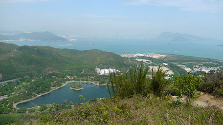
Inspiration Lake
Lai Pik Shan and Tai Che Tung
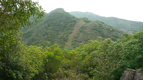
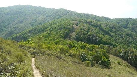
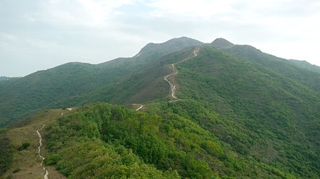
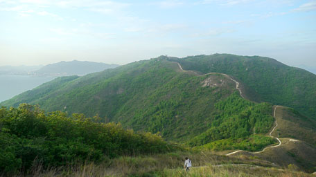
Continuing on along the path, it is obvious and contours the undulated ridges roughly towards the west. After descending to the valley of Sze Pak Au, it leads up to the smooth knoll near the top of Lai Pik Shan. After passing through the undulating lawns, the path descends to Sam Pak Au then becomes upward. Along the way of uphill, Discovery Bay could be seen on the left. Pass through the range pole of Tai Che Tung and further go ahead, it comes to the transmission station of North Lantau Island. At the moment overlooking the south, the majestic hill of Lo Fu Tau is just soaring in the front with the mighty aura which path winds up to the peak.
Lo Fu Tau
Continue to head the trail towards Lo Fu Tau, it descends southwards and parts of the section are quite steep. After contouring the undulated ridge downwards, it comes to the junction of Yi Pak Au. If turn left, you could be straight led down to Discovery Bay. Afterwards, still follow the path ahead uphill, it becomes steep that would require clambering slightly. Up to the upland, it turns gentle and slowly ascends. After detour the hillside of Lau Fa Tung, the lateral side of the peak of Lo Fa Tau* could be seen on the left, which seems to be the tiger sniggering at you. Further up, it joins Lo Fu Tau Country Trail. Head to the left a few steps, it comes to the lookout.
* Lo Fu Tau means “Tiger Head” in Chinese.
Overlooking to the east, the full view of Discovery Bay feasts you eyes. Towards the west, the hill range of Lin Fa Shan is horizontally and broadly lying at the front in the distance. Look back to the direction of the starting point from the northeast, the rolling peaks are undulating from Tai Che Tung, Lai Pik Shan extending far to Tai Shan.
Exit: If not climb Lo Fu Tau, you could follow the left path from the junction at Yi Pak Au leading directly to Discovery Bay.
Discovery Bay
Follow the path downhill beside the range pole, it is very steep, rugged and full of gravel in part that would need to clamber down. After descend a bit, the shape of the tiger head vividly appears in the front. Down to the “neck of the tiger” before the end of the “head”, turn left downhill at the junction, it detours around the hill to the front of the “tiger”. Afterwards, it is still sharply down. Head to the junction, take the right path. After passing the gutter, cutting through the woods, it joins the concrete road. Follow the road to the left, pass through Discovery Bay Lookout then turn right to descend to the junction. Head the left path from the junction, it is quite rugged and then joins the concrete path. Trace it not far, then follow the flight of steps downwards. Down to the muddy path, head it to the left to Woodland Court, then descend the flight of steps on the right leading to Parkvale Drive. Afterwards, follow Parkvale Drive to the left to the junction, then cross it and descend the flight of steps. After join Discovery Valley Road, then finally head it to the left to Discovery Bay Road.![]()
Note: The downhill path of Lo Fu Tau is partly very steep and rugged that would require you clambering.
Summary
It is delightful for the hike along the undulated rolling hills in the northeast of Lantau Island, and for enjoying the jade screens from the woodlands in the valleys and the bright green grasslands on the hills. Moreover, the sunset dyed the sea golden near the airport to give a warm blessing to everyone who leaves the hometown.
Last Update : 31.07.2021
Suggestions:
Other Informations:

