| Ma Shi Chau | |
| Distance: 7.0 Km | |
| Duration: 3.0 hours | |
| Diff.: | |
| Scn.: | |
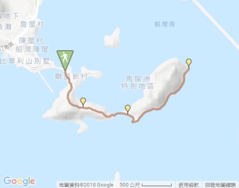
Due to Google changing the terms of Google Map, the daily usage rate will be limited. Please refer to the static map instead if the above map could not be displayed or used normally. I apologize for the inconvenience.
 Static Map
KML file
Sam Mun Tsai
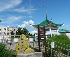
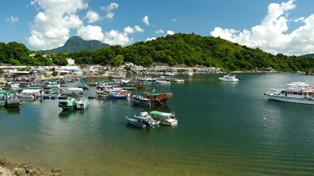
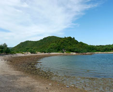
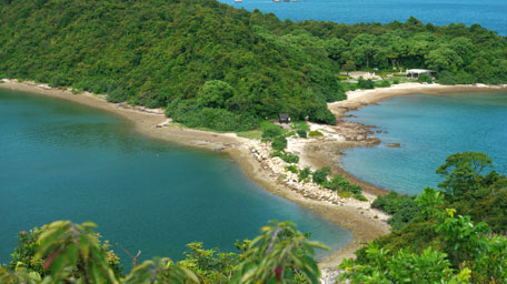
From the bus stop of Sam Mun Tsai, you could overlook the full view of Pat Sin Leng northward and the coast of Sam Mun Tsai village by going back to the embankment along Sam Mun Tsai Road that links Yim Tin Tsai. Some of the boats are parked in an orderly way. Afterward, go back to the bus terminal, then take the concrete path to Sam Mun Tsai village on the right beside the pavilion. Beyond the houses of the village ahead, turn left at the first public toilet, then follow the uphill path behind the second public toilet. After passing through the cemetery, the route gradually opens up. Toward southeast, it gives a full view on Ma On Shan. Head the trail, you soon see Ma Shi Chau ahead linking with a sandbank. Going down and running through the sandbank, it arrives at the pavilion of Ma Shi Chau. There is also a timetable about the tide times for reference.
Note: Before going through the sandbank, pay attention to the tide times.
Ma Shi Chau
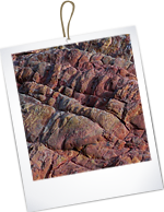
Follow Ma Shi Chau Nature Trail on the right, it skirts along the southeastern coast. You could see the various formations of rock and the rich primary plants along the rocky shore. It is a good place for studying in geology and ecology. At the end of the trail, retrace your steps to the pavilion, then return to Sam Mun Tsai village.![]()
Summary
It is good for a short hike that offers scenic views over Pat Sin Leng and Tolo Harbour, as well as could observe the rocks and plants along the coast.
Last Updated : 26.03.2015
Suggestions:
Other Informations:

