| Sheung Sze Forest Trai | |
| Distance: 8.0 Km | |
| Duration: 3.5 hours | |
| Diff.: | |
| Scn.: | |
Due to Google changing the terms of Google Map, the daily usage rate will be limited. Please refer to the static map instead if the above map could not be displayed or used normally. I apologize for the inconvenience.
 Static Map
KML file
Chuen Lung
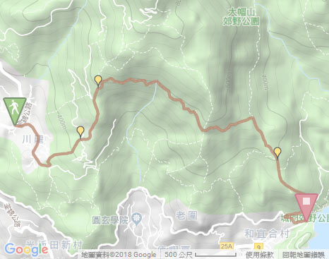
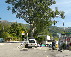
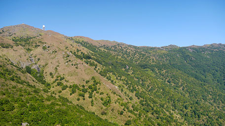
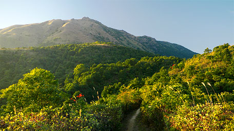
Begining from Chuen Lung bus stop beside Route Twisk, take the concrete road at the opposite side to enter Chuen Lung village. Along the road to go ahead, then trace a flight of steps up on the left at Country Park Chuen Lung Management Office. Up to the crossing of the concrete road, take the uphill path ahead beside the pavilion. Passing through the cemetery, it joins the muddy path. Up ahead beyond a grove, Tai Mo Shan is just towering at your front. It is impressive for the form of Tai Mo Shan which is huge and broad, and which long rolling south slope extends to the east and southeast. From a little difference of the horizontal distribution of trees along the hillside as a mark, the hidden deserted trail that winds along its hillside peer behind the trees.
Sheung Sze Forest Trail *
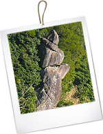
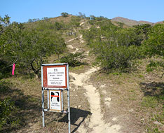
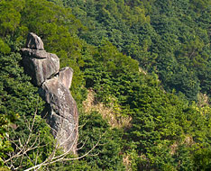
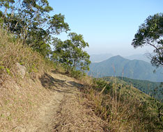
Along the trail up beyond the warning notice post, climb up a short slope ahead and then immediately pay attention to the hidden path on the right which entry is overgrown with weeds but there are some ribbons as a mark. (there is also a rock painted "相思林徑" in white on the right as a reference but not too obvious.) Head the hidden rough path, then take the short flight of wood steps going up on the left. Afterward, it winds along the hillside with gentle ascents and descents, and becomes narrow in parts of the section. Looking on the right far, it offers a distant view over Tsuen Wan and Kwai Chung. Moreover, a rock known as "Clown Rock" standing at the hillside which shape is like a clown could be seen on the right.
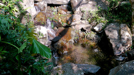
In the sunshine, the jade screens on the sylvan terrains and the shrublands, the dynamic patterns made from the shadow of trees on the ground, the delightful birds sound, the gurgling streams and brooks, all interpret the great nature. It crosses several streams. One of them is the upper reaches of Tai Yuen Stream which is one of the large streams in Hong Kong. At the short and narrow cliff with a cable for asistance, take care to pass through it. Go ahead, the path becomes wider. Beyond the warning notice, it comes to the crossing.
* "Sheung Sze" in chinese means a type of tree named Acacia Confusa. It is because the type of trees were lined on both sides along the path in the past.
Note: Be careful to pass through the short and narrow cliff.
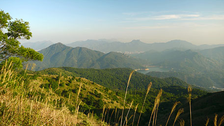
Looking far Shing Mun, Needle Hill and Lion Rock
Shing Mun Reservior
Head the trail forward at the crossing, it becomes gently down later. (Taking the right fork leads down to the mid-section of Lung Mun Country Trail.) Not far ahead, the sublime scenery over Shing Mun Reservior, Needle Hill and farther Lion Rock feast your eyes on the right. Descending to the junction, follow the wooded path to the right to Shing Mun Reservior. (Going to Lead Mine Pass by tracing it to the left) Down to the junction of Lung Mun Country Trail, follow it ahead. After going down a flight of steps, it joins to Shing Mun Road. Along the concrete road to the right, it leads down to the mini bus terminal of Shing Mun.![]()
Summary
Through the hidden path, it was confortable for enjoying the fresh aroma of grasses and trees, the delightful chirping of birds and the sound from the gurgling streams in the peaceful nature. Perhaps, being just abandoned or left, the nature would be protected.
Last Update : 17.03.2015
Suggestions:
Other Informations:

