| Tai Cham Koi | |
| Distance: 10.5 Km | |
| Duration: 5.0 hours | |
| Diff.: | |
| Scn.: | |
Start: Bus 94, get off at Sheung Yiu
End: Bus 94 from Pak Tam Au to Sai Kung
The path from Luk Wu Country Trail to Chek Keung is covered with loose gravel in part due to weathering. It would be required to clamber slightly!
From Tai Cham Koi going down to Luk Wu Country Trail, you could follow it to the left leading to Pak Tam Road at Tsak Yue Wu.
Due to Google changing the terms of Google Map, the daily usage rate will be limited. Please refer to the static map instead if the above map could not be displayed or used normally. I apologize for the inconvenience.
 Static Map
KML file
Tai Cham Koi
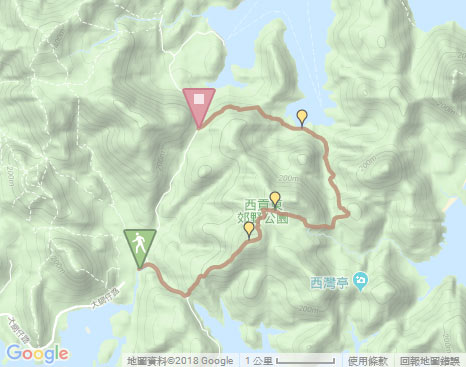
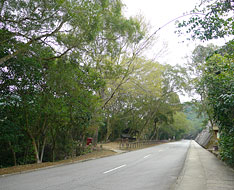
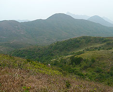
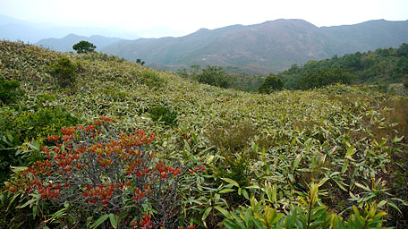
From the bus stop of Sheung Yiu, the trail starts by following Tai Mong Tsai Road ahead (also a section of MacLehose Trail). Gently up to the roundabout by the pavilion at the junction of Sai Kung Man Yee Road, it takes the short flight of concrete steps up at your left rear slope. Not far ahead, it joins the muddy path that undulately ascends along the ridge. The uphill path is quite steep at the beginning, but if offers a splendid view over High Island Reservoir and the island of Kau Sai Chau nearby. After trekking over the several hillsides, it reaches the hilltop of Tai Cham Koi.
Luk Wu Camp Site
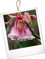
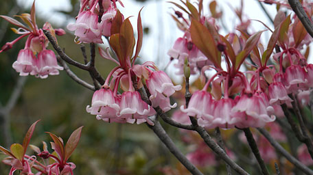
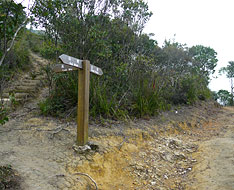
From the top, follow the downhill path on the right then soon take the left side path. In spring, you could also see the wild Chinese New Year Flowers like bells hanging are in bloom which are distributed on the hillsides. Head the trail downward, then it joins Luk Wu Country Trail. Follow it to the right toward the direction of Sai Wan Pavilion. Not far ahead, it passes through Luk Wu Camp Site. Along the way, the trails runs gently on the plateau terrain. Afterwards, it descends the long flight of steps to the path junction. According to the signpost, take the left fork leading to Chek Keung. (heading forward could go to Sai Wan Pavilion)
Exit: After joining Luk Wu Country Trail, you could head it to the left leading to Tsak Yue Wu.
Chek Keung
Head the trail, it sometimes gently and undulately winds along the valley between the hills of Pai Ngak Shan and Tai Mun Shan, part of which cuts through the woods. The murmur of the brook could sometimes be heard. Along the trail, afterward, past some pools, beyond the valley and the forest, it comes to the coast of Chek Keung. Finally, head the MacLehose Trail to the left that leads to Pak Tam Au.![]()
Note: The path from Luk Wu Country Trail to Chek Keung is covered with loose gravel in part due to weathering. It would be required to clamber slightly.
Exit: At Chek Keung, you could take ferry to Wong Shek at Chek Keung Pier by following MacLehose Trail to the right a short distance.
Summary
In spring, it is usually cloudy and moisty, but the trees and grasses look more green. In the country setting, the seasonal flowers in bloom and the verdant woods fashion the colourful scenery with the distinct gradations of every kind of natural colours across the hillsides.
Established : 02.08.2015 / Last Update : 10.05.2016
Suggestions:
Other Informations:

