| Tung Yeung Shan | |
| Distance: 9.5 Km | |
| Duration: 3.5 hours | |
| Diff.: | |
| Scn.: | |
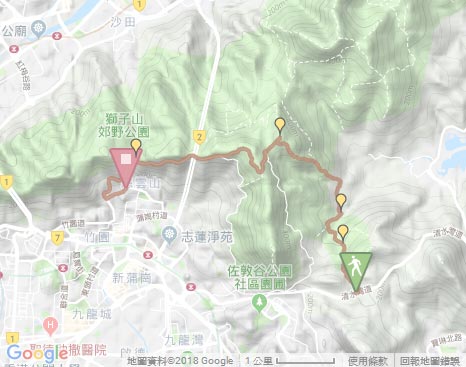
Due to Google changing the terms of Google Map, the daily usage rate will be limited. Please refer to the static map instead if the above map could not be displayed or used normally. I apologize for the inconvenience.
 Static Map
KML file
Tseng Lan Shue
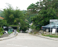
The trail begins from the bus stop of Tseng Lan Shue (the way to Sai Kung). Going ahead a short distance, it follows the right path at the junction at the left entrance of the village of Tseng Lan Shue. After passing the basketball court and then crossing the bridge, take the left path to enter the village. Crossing the short bridge, it then follow the right path at the junction (the left path leads to Fei Ngo Shan Road). Through the farmlands, it traces the right muddy path by the hiking map board.
Tai Lam Wu
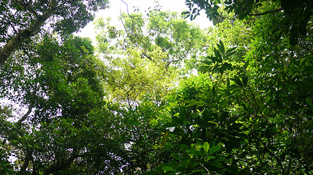
Head the wooded trail, it ascends at the beginning and gently undulates in the following leg. By cutting through the green sylvan terrain in quiet and hearing the song of cicadas sometimes, it is aware the early summer come. Afterward the brook gradually gurgles. Crossing the stream and heading further, it joins the stone path (Sai Kung Ancient Path) to the right at the junction that slowly leads down to Tai Lam Wu Road. (Taking the left path leads to Pak Fa Lam Road)
Exit: If not to climb Tung Yeung Shan, you could follow Tai Lam Wu Road ahead and then join Ho Chung Road leading to Hiram's Highway.
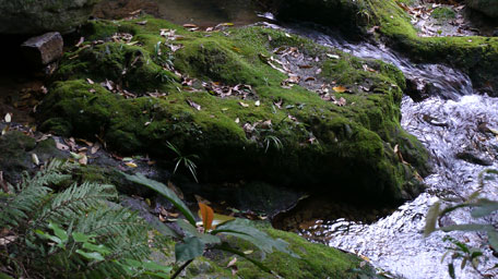
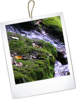
The gurgling stream
Tung Yeung Shan
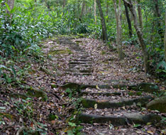
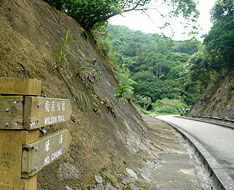
Head Tai Lam Wu Road alongside the catchwater. Passing the entrance of Tai Lam Wu village and going forward not far, it joins the Wilson Trail on the left by crossing the catchwater. The trail starts a long flight of steps that climbs up steadily along the hillside. After the strenuous climb, it gradually opens up and the slopes tames. Looking back far around, a sublime scenery over Hebe Haven and Port Shelter could be seen as a reward.
Up to the smooth leg (beyond the signpost W039), take the obvious side path on the right at the junction that leads up to the hilltop of Tung Yeung Shan along the southwest slope. The path is not too steep but rugged that you would clamber it if required. At the hilltop, it offers a very open view and seems to be enclosed with the rolling hills nearby. To the south, you could overlook the rear of Kowloon Peak and the adjacent Cheung Shan. Toward the west, Tate's Ridge is just towering. Looking far northwestard, Sha Tin is also within the sight. Afterward, retrace the way downhill and continue the Wilson Trail.
Exit: If not to climb up the hilltop of Tung Yeung Shan, you could still follow the Wilson Trail ahead.
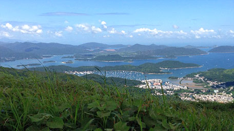
Hebe Haven of Sai Kung
Sha Tin Pass
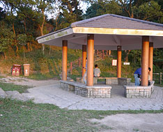
Heading the Wilson Trail to join the concrete road, follow it ahead. After joining Fei Ngo Shan Road, trace the road to the right. Pass through the pavilion, it winds along the hillside down slowly to the junction of Shatin Pass Road and Jat's Incline. Follow Shatin Pass Road on the right at the junction, it leads to Shatin Pass (Lion Pavilion), and finally winds down to Tsz Wan Shan.![]()
Summary
Climbing Tung Yeung Shan, it offers the splendid full view over Sai Kung and Sha Tin. It is said the nature is variable and unpredictable. During the uphill, all was peaceful with bird sound. In the downhill, everything seemed to become turbulent that wind rised and fogged heavily. The trees and leaves soughed strongly as if the nature raved loudly. But after the downhill, all was quiet again.
Last Update : 26.02.2016
Suggestions:
Other Informations:

